
Archaeological Mapping
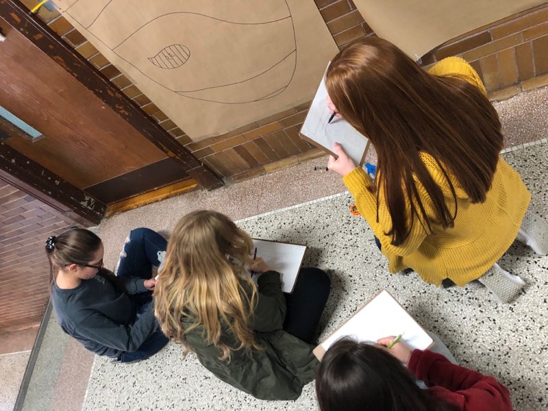
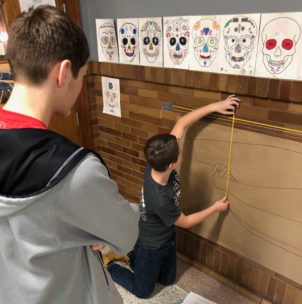
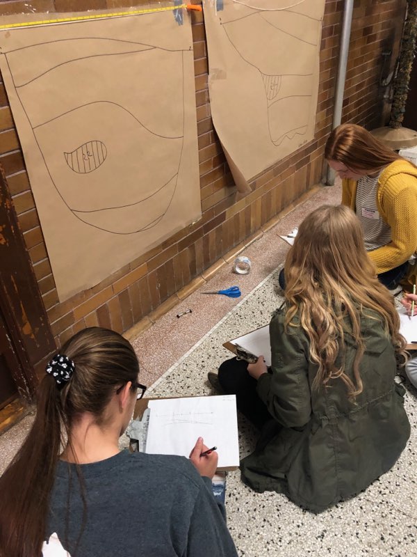
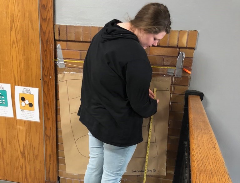
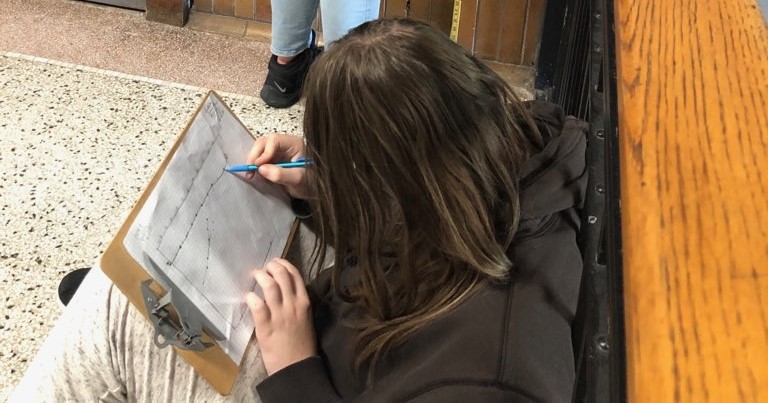
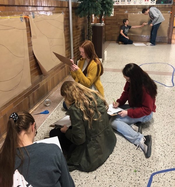
Students in my archeology class have been learning how to map to scale. They quickly mastered mapping feature top plans at a 1 to 2 scale (I created these on the floor with masking tape), and next they mapped profiles of features that I had sketched on large paper, drawing at a 1 to 1 scale. A feature is any type of hole that has been dug in the ground in the past (such as a storage pit, trash pit, cellar, lime slaking pit, privy, etc) and that eventually gets filled in with soil. They also often contain important artifacts. Obviously we didn’t have access to real features so I improvised, and I think it worked great. Most agreed that the profile mapping was more challenging.